Seasons & Weather
The Swell Arrives From a Storm You Never Saw
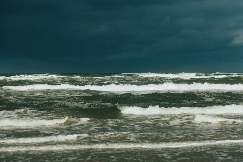
Waves outlive the wind that made them and travel for days, which is why a blue sky can come with a closed beach.
This is written to be used rather than admired. Each section below is a decision about distant swell arriving on a coast, and each one has a default.
Before you start
- Swell can travel thousands of kilometres from its generating storm.
- Longer-period waves travel faster and arrive first.
- A calm local forecast says nothing about swell already on its way.
How waves outrun their weather
Once wind has put energy into water, the waves keep travelling long after the wind that created them has died. As they leave the storm area they sort themselves by speed, with the longest waves travelling fastest and arriving first.
That sorting is why distant swell arrives as clean, evenly spaced lines rather than as the chaos it started as. Ocean swell routinely crosses thousands of kilometres, meaning a storm in one hemisphere reaches beaches in another. The practical consequence is that the local weather forecast tells you nothing at all about what the waves will be doing.
Reading the arrival
Marine forecasts list swell height, period and direction separately from wind sea, and the period is the critical figure. A rising period over a few hours is the signature of a distant swell arriving, often before the height increases much. Long-period swell of modest height moves far more water and breaks with far more force than a short-period sea of the same height.
That is why a two-metre swell at fifteen seconds is a different proposition from two metres at six. Learning to read that one number changes how you interpret every marine forecast you look at afterwards.
What it does at the coast
Long-period swell feels the seabed further out, so it stands up and breaks harder on shallow ground. Rip currents strengthen because more water is being pushed shoreward and has to return somewhere.
When the wind turns, shore break on steep beaches becomes heavier and more dangerous even when the sea looks flat between sets. Harbour entrances, exposed piers and low rock platforms become genuinely hazardous places to stand. Sets can arrive with long quiet gaps, which is what catches out people who watched the water for two minutes.
Wave watching without becoming an incident
People are swept off rocks, piers and promenades every year, most often while watching or photographing large waves. The safe viewpoint is high ground well back from the water with an escape route behind you.
Never stand on a low rock platform, a slipway or a breakwater when swell is running, however long the gaps look. Waves overtopping a sea wall carry enough force and water to sweep an adult off their feet immediately.
Local authorities close promenades and walls during these events, and the closure is based on records of what happened before.
Swell seasons
Many coasts have a swell season tied to the storm season of a distant ocean basin rather than to their own weather. Some tropical and subtropical coasts receive their largest surf in what is locally the calmest, sunniest period.
Before the first ferry, surfers plan travel around these patterns, and the same information is useful to anyone planning to swim. Historical wave climate data for a region is published in many countries and is more useful than a temperature average. Asking when the big swells usually arrive is a normal question that any surf shop will answer accurately.
Building it into a trip
Check a marine forecast with swell period and direction alongside the ordinary weather forecast before any water day. Have an alternative sheltered location identified for the days when a swell is running on the exposed coast. Ferry and small boat schedules are affected by swell before they are affected by wind, so watch it for travel too.
Treat a rising swell forecast as a reason to change the day rather than a reason to be careful. The mechanism is entirely predictable, which is what makes ignoring it avoidable.
The takeaway
Read the swell period and direction, not just the wind, before any day on the water.
Weather is the itinerary. Everything else is a preference.
Questions readers ask
Why is the sea rough when the weather is beautiful?
Because the waves were generated by a storm a long way away and have travelled to you. Local wind and local waves are separate things, and marine forecasts list them separately.
What swell period should make me cautious?
There is no single threshold, since it interacts with height and with the shape of the beach. As a general principle, longer periods mean more energy at the shore for the same wave height.
Also by Rohit Barve
- A Harbour Wall Is a Machine and Its Entrance Faces One Way for a ReasonHarbour Towns
- Ice Plants and Chandleries: How to Tell a Port Still WorksHarbour Towns
- Jumping Off a Harbour Wall: What the Water Underneath Is DoingHarbour Towns
- On a Coast, Wind Direction Matters More Than Wind SpeedSeasons & Weather