Coastlines
A Coast Path Is Never the Flat Walk the Map Suggests
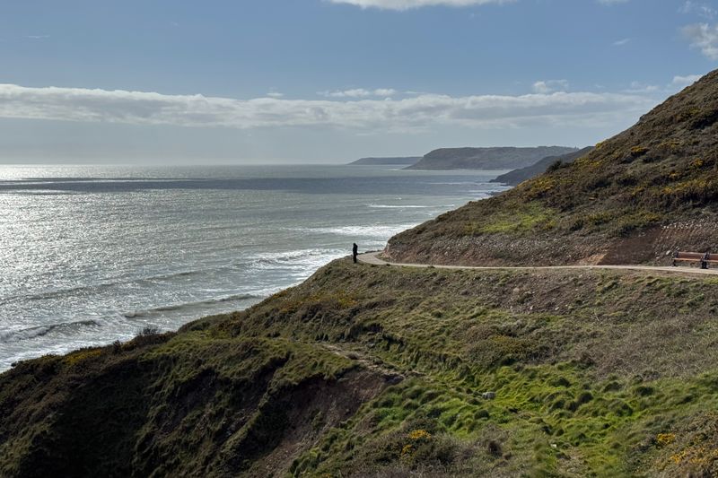
Every stream that reaches the sea has cut a valley through the cliff line, and the path drops into all of them.
This looks at the profile of coastal walking routes from the practical end — what holds up once conditions stop being ideal.
What holds up in practice
- Coastal routes accumulate ascent in short repeated climbs.
- Total ascent, not distance, predicts how long a stage takes.
- Tidal and eroding sections can close a route without notice.
Why the profile is saw-toothed
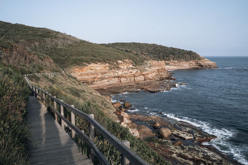
Rivers and streams reach the sea through valleys they have cut into the cliff line over a very long time. A path following the coast must descend into each valley, cross the water and climb back to the same height on the far side. On some stretches that happens six or eight times in a day, none of the climbs long and all of them steep.
The cumulative ascent can exceed a mountain day while never taking you above a hundred metres of elevation. Walkers judging the stage by its distance alone routinely arrive two hours later than they planned.
Estimating time honestly
A common approach adds roughly an hour for every five hundred metres of ascent on top of the flat walking time. On a broken coastal profile that correction is often larger than the distance-based estimate it is being added to. Steps built into steep sections help the erosion but not the legs, since fixed riser heights suit nobody exactly.
Out of season, add margin again for stiles, gates, narrow sections where you cannot pass, and the simple wish to stop and look. Planning a shorter first day is the cheapest way to find out what your real pace on that coast is.
Surfaces and what they cost
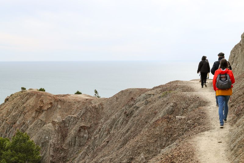
Coastal soils are often thin, so paths alternate between bare rock, mud held together by roots, and loose gravelly stretches. Wet grass on a slope angled toward a drop is one of the more underestimated hazards on any coast path.
On the water, sand sections drain the legs disproportionately, and a kilometre of soft sand is not a kilometre of anything else. Boardwalks across dunes exist to protect the dune rather than to speed you up, and they can be slick when damp. Footwear with genuine grip matters more here than waterproofing, because the falls come from traction rather than wet feet.
Sections that disappear
Some coast paths cross beaches or under cliffs that are only passable for part of the tidal cycle. These are usually signposted, but the sign describes the general case rather than today, and swell can shorten the window. Treat a tidal section as a booking with a hard start and end, and be early to it rather than punctual.
When the wind turns, never plan to return through a tidal section on the same tide unless you have checked both ends of the window.
If in any doubt, the inland alternative exists for exactly this purpose and costs only time.
Diversions and erosion
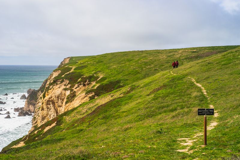
Cliff paths are routinely rerouted inland after a slip, and the diversion may be considerably longer than the original line. Signage quality varies enormously, so carrying a map that shows the inland lanes as well as the coastal route is sensible.
A path that runs close to a fresh edge is a path that will move again, and the fence position is not a guarantee. Local authority or trail association pages are the practical place to check for closures shortly before you set out. Assume at least one section per long walk will not be where your map says it is.
Wind, water and the human factors
There is often no shade at all on an exposed coastal stage, and the breeze hides how much sun you are taking. Drinking water may be scarce between villages, and the sea offers nothing, so carrying capacity matters more than usual.
On the water, phone signal is patchy under cliffs even where the region generally has good coverage. Public transport back to the start is the thing to research first, because linear coastal walks depend on it entirely. A walk that ends at a bus stop with four services a day is a timetable problem before it is a fitness one.
The takeaway
Plan a coastal stage by its ascent and its bus times, not by the number of kilometres.
The best hours on any shore are the ones before the car parks fill.
Questions readers ask
Is a coast path easier than a hill walk?
Not reliably. The altitude is lower but the ascent is often comparable, and the exposure to wind and sun is usually greater.
How do I check whether a section is tidal?
Trail guides and local signage flag them, and the map will show the path crossing sand or running under a cliff. Where one is flagged, get the tide times for that specific stretch of coast rather than a nearby port.