Coastlines
Coastal Erosion Is Not Slow When It Is Your Footpath
Retreat rates quoted in metres per year hide the fact that most of it happens in a handful of nights.
There is a short answer about the pace of shoreline retreat and a useful one, and they are not the same. What follows is the useful one.
The short version
- Erosion is episodic, concentrated in storms rather than spread evenly.
- Soft coasts can lose several metres in a single season.
- Published maps and signage lag behind the current edge.
Averages hide the mechanism
A coast described as retreating one metre a year rarely loses ten centimetres a month in any observable way. It stands still for long periods and then loses five metres in one storm surge with a high spring tide behind it.
That pattern is why residents describe decades of nothing followed by a winter that changed the view permanently. It also means the average is close to useless for deciding whether a particular path is safe this weekend. The useful question is when the last big event was and what the ground has done since.
What actually removes the land
Wave energy at the base does the cutting, but water getting into the cliff from above does much of the destabilising. Saturated ground is heavier and weaker, which is why slips cluster after prolonged rain rather than during the storm itself.
Freeze and thaw prises joints apart in colder climates and does the same job over a longer timescale. Where the rock layers dip toward the sea, whole slabs can slide rather than crumble, which produces much larger failures. Human drainage, road runoff and leaking services all add water to the cliff and quietly accelerate the process.
Signs a path is on borrowed time
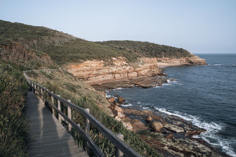
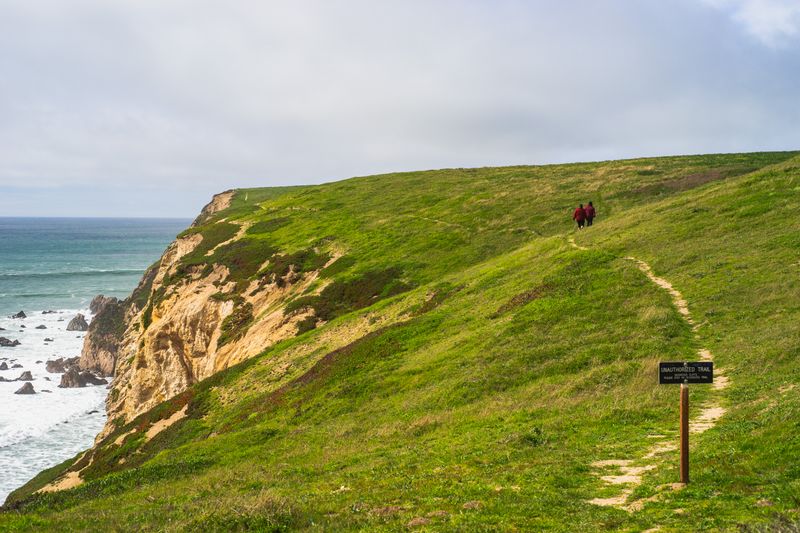
Fence posts leaning seaward, or a fence line that ends abruptly in air, is the clearest possible statement. Fresh, unvegetated scars on a cliff face mean movement recently enough that nothing has grown back over it. Cracks running parallel to the edge through turf are the outline of the next block to go.
Along that stretch of coast, tarmac or field boundaries that stop mid-air show how far the edge has moved since somebody last surveyed it. Where you see these, the diversion inland is not excessive caution but the current correct route.
Why signage lags
Maps are surveyed periodically and printed in batches, so a coastal edge on paper may be several years old. Digital maps update more often but still depend on someone reporting the change and someone else processing it.
Waymarking on the ground is usually the most current source, and it should override anything you are carrying. Local authority notices give closure information but are sometimes posted only at the two ends of a long section.
When ground truth and map disagree on a cliff coast, the ground is right.
Places built where the coast is leaving
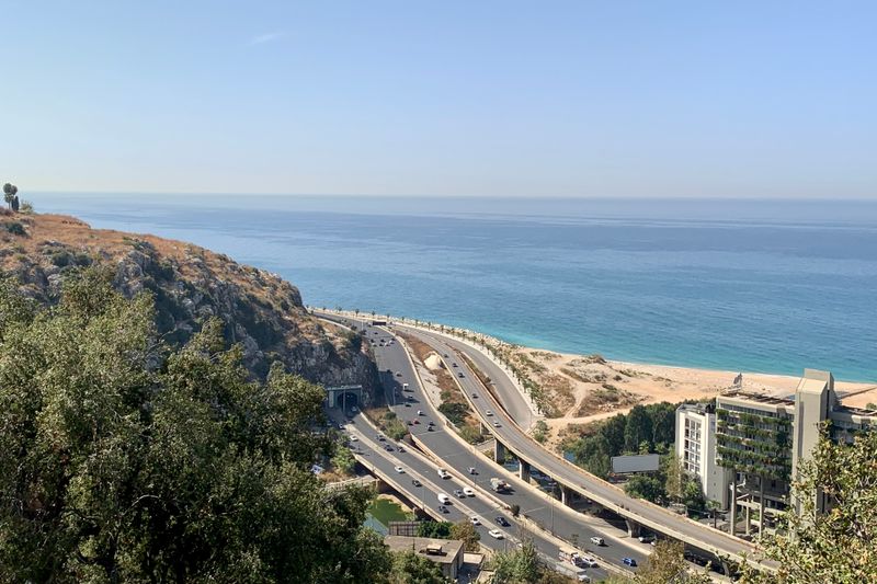
There are villages on soft coasts where roads, car parks and buildings have been abandoned in living memory. Visiting them is genuinely interesting, but the parking and the paths there change more often than anywhere else. Managed realignment, where defences are deliberately moved back, has created new saltmarsh in several countries.
Along that stretch of coast, these sites are among the best places to see what a coast does when it is allowed to behave naturally. They also demonstrate that defending every metre of shoreline was never financially or physically possible.
Travelling on an eroding coast
Check trail and council pages a few days before rather than a few months before, since closures appear suddenly. Carry a map that includes the inland lanes so a diversion does not become an improvisation.
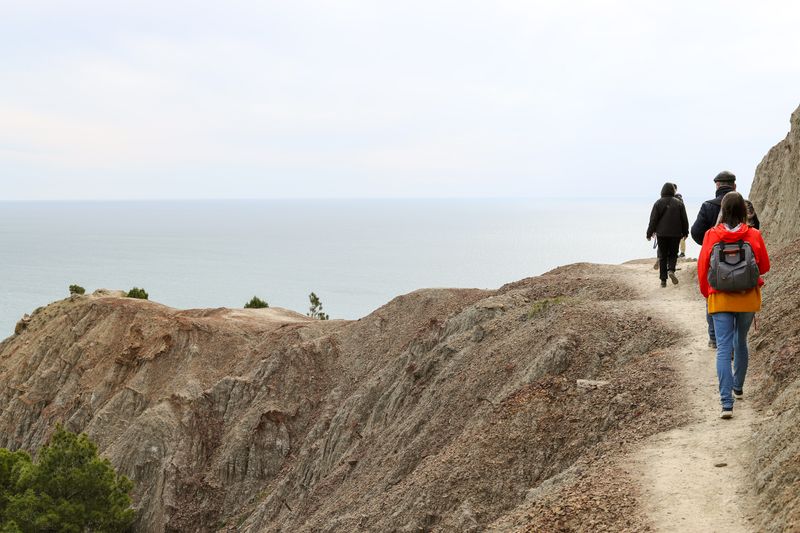
Do not sit at the base of a cliff for lunch, however sheltered it looks, especially after rain. Do not stand at the edge to photograph, because the overhang you cannot see is the part that fails. Treat a coast that is visibly moving as a place to observe carefully rather than to get close to.
The takeaway
On a soft coast, trust the fence line and the fresh scars over anything printed.
Arrive a day early. A coastline rarely rewards a tight schedule.
Questions readers ask
Is erosion getting faster?
Rates vary enormously by location and material, and attributing any single stretch to a single cause is difficult. What is generally agreed is that higher sea levels and storm surge riding on them increase the reach of wave attack.
Can I tell how recently a cliff moved?
Vegetation is the best clue. Bare, raw material means recent movement, while an established cover of plants means the face has been stable for some time.