Coastlines
Headlands Make Their Own Wind, and It Is Stronger Than the Forecast
Air behaves like water when it meets an obstacle, which is why the walk around a point is always harder than the walk to it.
There is a short answer about wind acceleration around headlands and a useful one, and they are not the same. What follows is the useful one.
The short version
- Airflow speeds up as it is squeezed around and over a headland.
- Forecasts describe open conditions, not local terrain effects.
- The sea state off a point is usually rougher than either side of it.
Why the corner is always worse
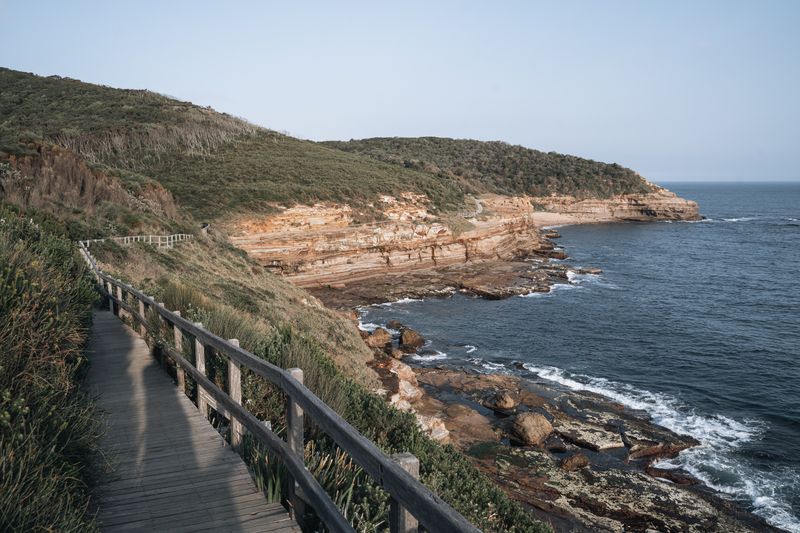
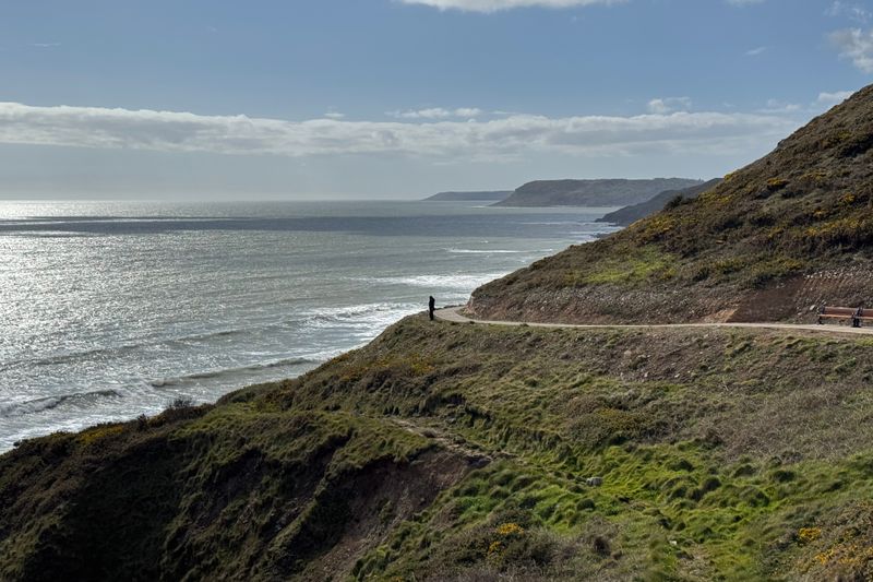
Wind approaching a headland cannot pass through the rock, so the same volume of air has to move through a narrower gap. Squeezing a flow into a smaller space makes it faster, which is the same reason a river runs quickest where the banks pinch in. The effect is strongest right at the tip and for some distance downwind, which is exactly where the path usually goes.
A twenty-knot forecast can easily present as thirty on the point itself, and gusts will exceed that again. None of this is unusual weather; it is ordinary weather being reshaped by the ground it is crossing.
What the sea does at the same spot
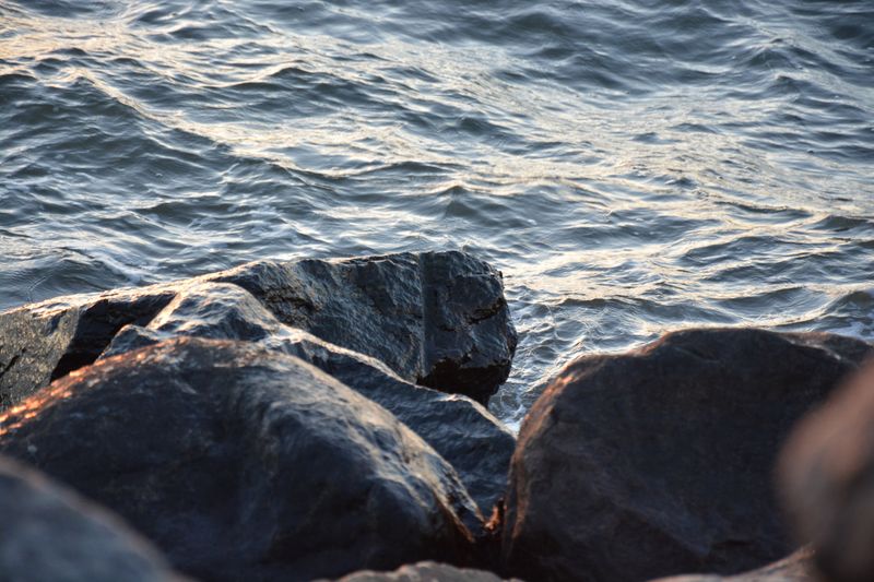
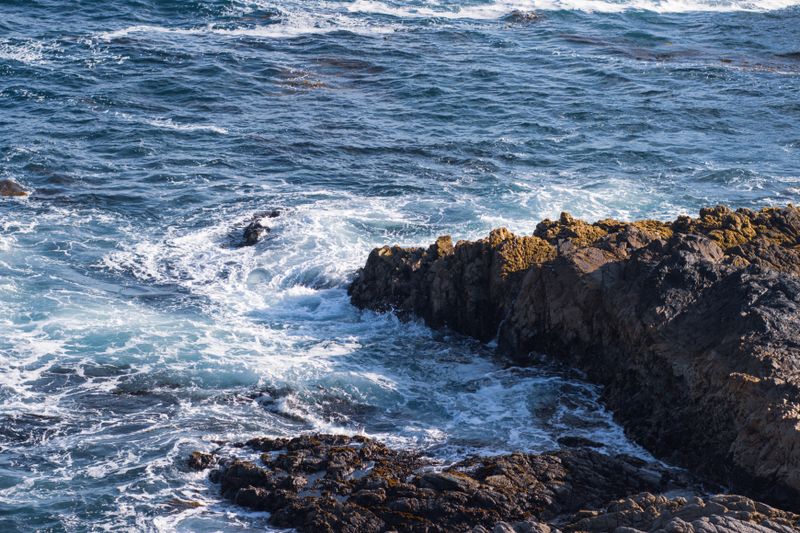
Tidal streams accelerate around headlands for the identical reason, and the fastest water in a whole region is often off a point. When that accelerated current runs against wind or swell, the waves stand up short and steep in a patch called a tide race.
Along that stretch of coast, sailors and kayakers plan whole days around these places, going through them at slack water rather than fighting them. From the clifftop it looks like a stretch of confused white water that seems to appear and disappear with the hours. It is worth watching for twenty minutes, because it explains more about local boat traffic than any amount of reading.
The lee, and why it lies to you
Immediately downwind of a headland there is often a pocket of shelter that feels calm and tempting. That pocket ends abruptly, and stepping out of it into the accelerated flow is where people get caught off balance. Small boats have the same problem in reverse, launching into apparent calm and meeting the real wind a few hundred metres out.
Eddies in the lee can even run against the main flow, so a flag there may point the wrong way entirely. Treat sheltered water near a point as a local anomaly rather than as a sample of the conditions beyond it.
Walking a headland safely
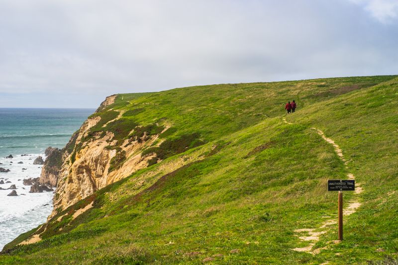
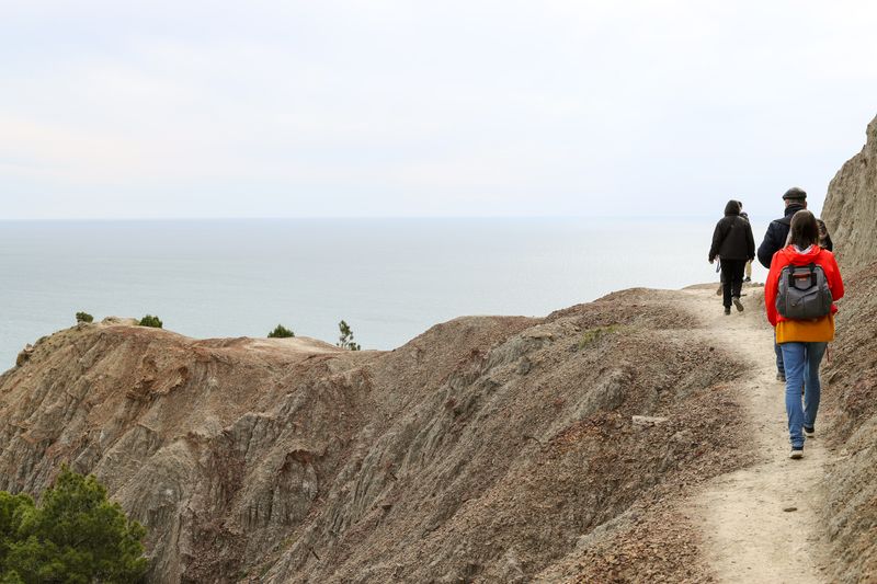
Coast paths on headlands frequently run close to an unfenced edge, and a gust arriving from the side is the specific hazard. Walking the inland side of the path where one exists costs nothing and removes most of the risk. Loose hoods, opened maps and large rucksack covers all act as sails and are worth securing before the exposed section.
Before the first ferry, cold is a factor too, because the same acceleration strips heat faster than the temperature reading suggests.
If the wind is above a level you are comfortable with, the headland is the part of the walk to skip rather than endure.
Using the effect deliberately
Kite fliers, windsurfers and paragliders seek out headlands precisely because the terrain reliably adds to whatever the day offers. Photographers use them for the opposite reason, since the same wind clears haze and sharpens the air over the water. If you want a still morning, walk the bays; if you want weather, walk the points.
Along that stretch of coast, planning a route so the headland comes early leaves the sheltered miles for when you are tired. Turning back at a point is a normal decision, and the bay behind it is usually a perfectly good destination.
Reading the ground in advance
A map showing a narrow neck of land with water on both sides is telling you to expect wind from either quarter. Contours bunched at the tip mean the air is being lifted as well as squeezed, which adds turbulence rather than steady flow.
On the water, look for a lighthouse, since they sit on the places where the combination of rock, current and weather caused most trouble. Local names sometimes carry the same information, with words for wind, roar or race attached to specific points. None of this requires instruments, only the habit of looking at shape before looking at the forecast number.
The takeaway
Plan the exposed corner of a coast walk for a morning you can afford to abandon.
Arrive a day early. A coastline rarely rewards a tight schedule.
Questions readers ask
Is the forecast wrong when this happens?
No. Forecast models describe conditions over a broad area and cannot resolve a hundred-metre headland. Treat the number as a baseline that terrain will modify upward at points and downward in bays.
How much stronger does it actually get?
It varies with the shape of the land and the angle of the wind, so no single multiplier is honest. Assume noticeably stronger and gustier, and judge it on the spot.