Coastlines
Coastal Defence Moves the Problem Along the Coast
Protecting one stretch of shoreline starves the next stretch of sediment or deflects wave energy onto it, which is why defence decisions are argued about between neighbours.

A sea wall or rock revetment protects the ground immediately behind it, and that much is straightforward. What is less obvious is that it usually transfers the erosion somewhere else.
An eroding cliff is a sediment supply
Material worn from a cliff does not vanish. It enters the drift system and forms the beaches further along the coast, sometimes many miles away.
Armouring the cliff stops that supply. The beaches downdrift continue to lose sediment to the same currents but receive nothing to replace it.
They then narrow, which exposes the ground behind them, and the pressure to build a defence there increases. The sequence tends to propagate along a coastline.
Hard walls reflect energy instead of absorbing it
A beach dissipates wave energy by letting water run up a slope and drain away. A vertical wall returns much of that energy to the water in front of it.
The reflected wave scours the beach at the foot of the wall, which deepens the water there and allows larger waves to reach the structure.
Over time the beach in front of a hard defence often disappears entirely. The wall then requires its own protection, usually in the form of rock placed at its base.
Softer approaches work with the movement
Beach recharge adds sediment rather than blocking its loss, restoring the natural dissipating slope. It has to be repeated, because the drift continues to remove it.
Groynes hold sediment in compartments, which builds one side and starves the other. They are effective locally and visibly unfair to the next stretch along.
Managed realignment abandons a defence line and lets the sea reclaim low ground, on the basis that a wide intertidal zone is cheaper protection than an indefinitely maintained wall.
Why the decisions are made in units
Because sediment moves along a coast as a system, planning is organised around whole stretches between natural barriers rather than individual towns.
Within a unit, a decision to defend one section requires an assessment of what happens to the rest. The point of drawing the boundaries is to make that consequence visible.
Funding is then allocated against the value of what is protected, which is why a town is defended and an isolated stretch of cliff with a footpath on it is not.
What a visitor actually sees
Abrupt transitions are the giveaway: a wide beach that ends at a groyne with a much lower one beyond, or a defended frontage followed by a retreating cliff.
Old defences left in ruins usually mark a decision not to renew. Concrete blocks and rusted steel scattered along a shore are the residue of a policy change.
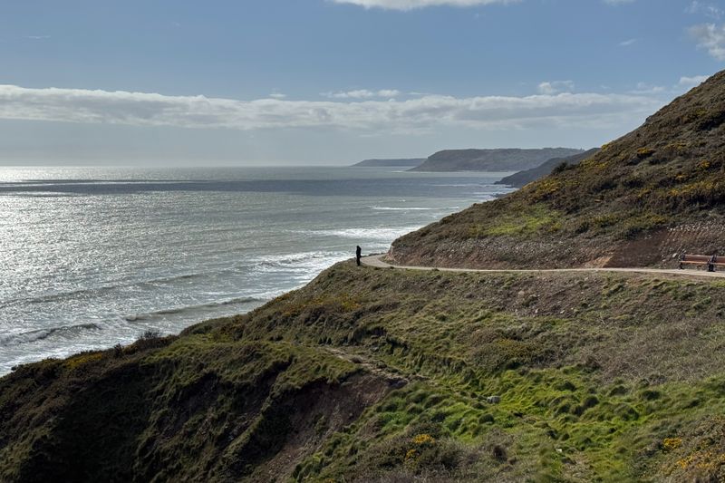
Diverted footpaths, closed car parks and roads ending at a barrier are the visible cost. They mark the places where the calculation came out against defending.
Questions readers ask
Is a coast path easier than a hill walk?
Not reliably. The altitude is lower but the ascent is often comparable, and the exposure to wind and sun is usually greater.
How do I check whether a section is tidal?
Trail guides and local signage flag them, and the map will show the path crossing sand or running under a cliff. Where one is flagged, get the tide times for that specific stretch of coast rather than a nearby port.