Coastlines
Drowned Valleys: Why Some Coasts Have Deep Water Far Inland
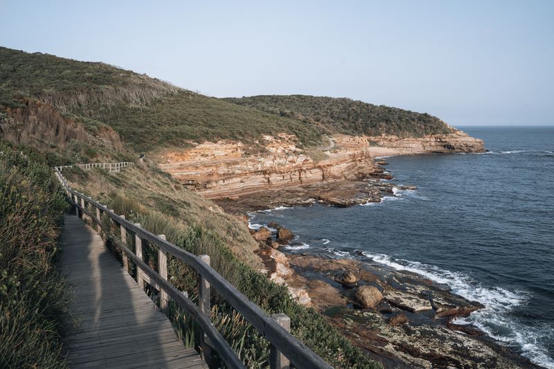
Rias and fjords exist because sea level rose into valleys that rivers and glaciers had already cut, and that history shapes the towns.
What follows is the working version of drowned valley coastlines: the decisions in the order you actually meet them, with the reasoning attached.
Before you start
- Rias are river valleys flooded by rising sea level.
- Fjords were carved by glaciers and are far deeper.
- Both produce sheltered deep water and awkward road journeys.
Two different origins, similar outcome
A ria is a river valley that the sea rose into, so it shallows gradually inland and follows the old river's meanders. A fjord was excavated by a glacier, which is why it has near-vertical walls, a flat floor and enormous depth close to shore. Fjords typically have a shallow sill at the mouth where the glacier lost power, which affects water exchange inside.
Rias tend to be branching and tidal; fjords tend to be long, straight and comparatively less tidal in their upper reaches. Both give you deep sheltered water many kilometres from the open sea, which is why ports grew where they did.
What this does to a harbour town
Natural deep water without dredging is rare, so drowned valleys hosted trade and naval bases far earlier than open coasts. Towns are built on steep sides because the flat land at the water is narrow and was needed for quays. That is why these places have stepped streets, terraces stacked above one another and almost no parking near the water.
On the water, the water itself is usually calm, since the surrounding hills block both swell and much of the wind. Swimming from a pontoon in a ria is a different experience from swimming off an exposed beach a few kilometres away.
Why the drive takes so long
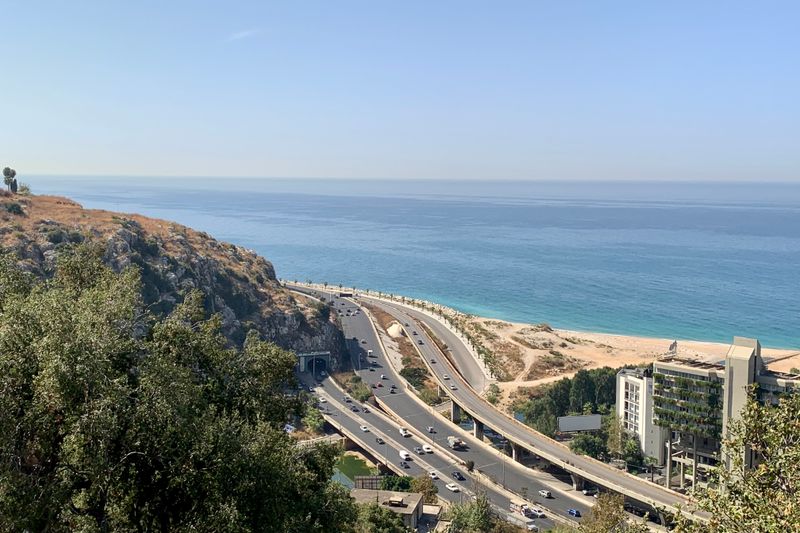
A place two kilometres away across the water may be forty kilometres by road around the head of the inlet. Ferries and small crossings exist precisely to close those gaps, and they are transport rather than sightseeing.
Where the crossing is seasonal or tide-dependent, the road distance becomes the default and journey times double. Planning by straight-line distance on a drowned-valley coast produces consistently wrong estimates. Measuring the actual road route before committing to an itinerary is worth the two minutes it takes.
Water behaviour inside an inlet
Tidal range can be amplified as a tide pushes into a narrowing inlet, producing strong currents in the constrictions. Freshwater from the river sits on top of denser salt water, so the surface can be markedly colder or warmer than expected.
Along that stretch of coast, that layering makes visibility change abruptly with depth, which surprises snorkellers used to open coast conditions. Fjord sills restrict deep water exchange, and the water below the sill can be very still and low in oxygen.
None of this is dangerous in itself, but it means conditions inside an inlet are not predicted by the coastal forecast.
Weather in a steep-sided inlet
Wind is funnelled along the axis of an inlet, so it blows either straight up it or straight down it and rarely across. Katabatic effects can send cold air rushing down steep sides on clear nights, producing local gusts out of nothing. Rainfall is often much higher on the surrounding slopes than at the mouth, which is why waterfalls appear after storms.
Out of season, sun reaches the water for fewer hours a day than the latitude suggests, particularly in winter. Packing for shade and wind rather than for the regional average is the practical adjustment.
Prices and opening hours on a seasonal coast are close to fiction outside the season.
Getting the most out of one
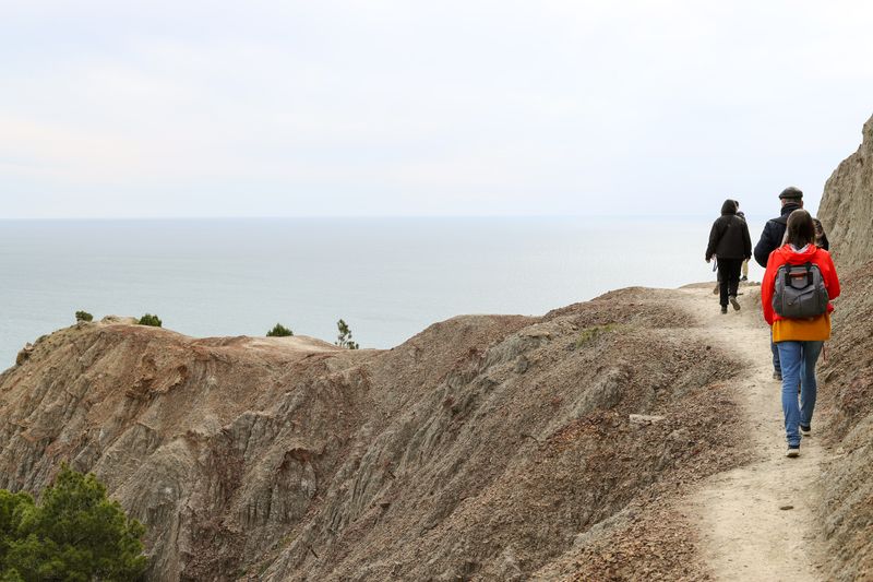
The view from the water is fundamentally different from the view from the road, and small passenger boats are the cheap way to get it. Walking a ridge above an inlet shows you the shape of the whole system in a way that no waterside path can. Villages at the head of an inlet are usually quieter and cheaper than those at the mouth, with worse transport.
Tidal timing matters at the head, where the water may be entirely absent at low tide and boats sit on mud. Ask what the water does at low tide before booking a room with a view of it.
The takeaway
On a drowned coast, measure the road distance and ask what the tide leaves behind.
Weather is the itinerary. Everything else is a preference.
Questions readers ask
Are fjords only found in cold places?
They are found where glaciers reached the sea, which includes high latitudes in both hemispheres and some mountainous mid-latitude coasts. The defining feature is glacial excavation rather than current climate.
Why do some inlets have no beach at all?
Because the sides are steep and there is little wave energy to build one. Sediment settles as mud in the sheltered water instead.