Coastlines
Raised Beaches Sit Above a Sea That Has Left
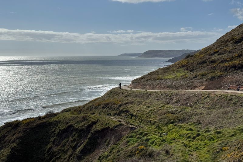
Flat terraces of old shoreline stranded well above the water mark a coast where the land rose faster than the sea did, and they still shape settlement.

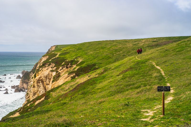
Some coasts carry a flat green shelf well above the present shore, backed by a cliff with no sea at its foot. That shelf is an old beach, left behind when the relationship between land and sea changed.
Why the land can rise faster than the sea
Thick ice sheets press the crust down beneath them. When the ice melts, the crust rebounds slowly, and in some regions it is still rising thousands of years later.
Sea level rose at the same time as the ice melted, so the two effects competed. Where uplift won, the shoreline was left stranded above the water.
The process is unevenly distributed. Areas that carried the thickest ice rose most, which is why raised shorelines are common on some coasts and absent from others nearby.
How to recognise one
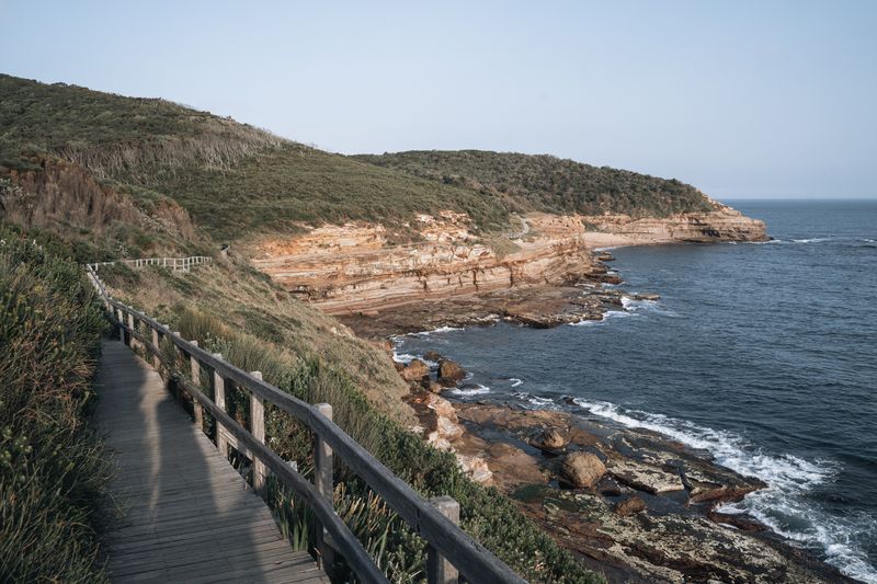
The tell is a strip of flat ground, often unusually level for the area, with a distinct slope or old cliff line behind it. The cliff will have caves and notches cut by waves.
Those caves are dry and sometimes floored with beach shingle. Rounded pebbles far above the tide are the clearest possible evidence of where the sea once worked.
Several terraces may sit above each other like steps. Each represents a period when the shoreline held steady long enough to cut a platform before the land rose again.
The terrace is where people live
On a steep coast, a raised beach is often the only flat, well-drained ground available. Roads, fields, villages and airstrips all concentrate on it for that reason.
The old cliff behind then acts as the edge of settlement, and the modern shore below is reached by a short descent. The pattern repeats along entire coastlines.
This produces the characteristic layout of such places: a single road along the terrace, houses on one side, and the sea a level drop below rather than immediately underfoot.
Drowned coasts do the opposite
Where the sea gained on the land instead, valleys were flooded and hills became islands. Those coasts have deep water close inshore and no flat coastal shelf at all.
The contrast is stark within a single region. One stretch offers level ground and shallow bays, while another a short distance away drops straight into deep water.
Knowing which type you are visiting explains a great deal in advance, from whether there is anywhere to build a harbour to whether the walking is flat or relentlessly steep.
What the terrace does not tell you
A raised beach records past movement, not future safety. Present sea level change and local subsidence act on top of the old pattern and can run the other way.
Ground that has been dry for millennia can still flood from rivers, groundwater or storm surge. Height above the sea is only one of several factors involved.
The terraces are useful as an explanation of why a coast looks as it does. They are a record of a slow process, not a guarantee about the current shoreline.
Questions readers ask
Is a coast path easier than a hill walk?
Not reliably. The altitude is lower but the ascent is often comparable, and the exposure to wind and sun is usually greater.
How do I check whether a section is tidal?
Trail guides and local signage flag them, and the map will show the path crossing sand or running under a cliff. Where one is flagged, get the tide times for that specific stretch of coast rather than a nearby port.