Coastlines
Salt Marsh Is a Coast You Cannot Walk Across
Marsh looks like a flat green field with water in it, but the branching creek network makes it the least walkable ground on any shore.

A salt marsh looks like a flat green field with water in it, and it is the least walkable ground on any coast. The obstacle is the drainage pattern rather than the mud.
How a marsh builds itself upward
Fine sediment settles wherever the tide slows down, and marsh plants trap it in place. Each covering tide leaves a thin layer, so the surface creeps up towards the level of the highest water.
Once the ground rises above the ordinary tides, flooding becomes occasional rather than twice daily. Growth slows at that point, because new sediment only arrives when water actually covers the surface.
The result is ground that is nearly flat but not quite. Small differences in height decide which plants grow where, and the resulting bands are visible from some distance away.
The creeks are the real obstacle
Water leaves a marsh through creeks, which cut downward rather than spreading out. They are steep-sided, deeper than they appear from above, and floored with soft mud that holds a boot.
A creek a stride wide at the top can be chest-deep at the bottom. Crossing means climbing down into it and hauling yourself out on the far bank.
Creeks also branch continuously. A route that avoids one channel usually runs into three more, which is why walking distances on a marsh bear little relation to the straight line.
Why the tide arrives from behind
A rising tide fills the creek network first and only later spills over the banks. Water appears in channels well inland while the outer edge of the marsh is still dry.
Someone who walked out at low water can find the return cut off while the ground underfoot looks unchanged. The sea comes up through the drainage rather than advancing across the front.
That is the mechanism behind most marsh incidents. The difficulty is rarely depth; it is being separated from firm ground by channels that were empty an hour earlier.
What the marsh does for the land behind it
Marsh vegetation slows moving water and absorbs wave energy before it reaches the bank or sea wall behind. A wide marsh is a defence that rebuilds itself after each storm.
Where the marsh has narrowed, the same wave arrives at the hard defence carrying more force. Marsh loss tends to show up later as repair bills on the structures inland.
Some coastal schemes now flood low-lying farmland deliberately so that marsh can re-form. The reasoning is that giving the sea somewhere to spread buys protection more cheaply than concrete does.
Reading a marsh from its edge
Colour bands indicate height above the tide. Lower marsh, flooded most often, carries sparser and more salt-tolerant plants than upper marsh, which can look like ordinary rough grazing.
Straight ditches mean the ground was drained and farmed at some point. A sinuous, branching pattern means the creeks formed themselves and the ground still floods on the bigger tides.
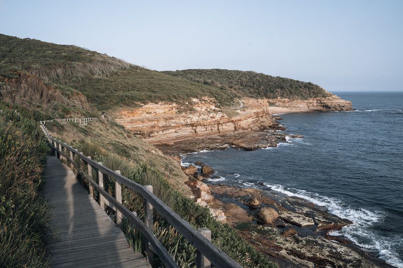
Boardwalks and marked routes exist on every marsh coast for one reason. They follow the few lines along which the creek network can actually be crossed dry-footed.
Questions readers ask
Is a coast path easier than a hill walk?
Not reliably. The altitude is lower but the ascent is often comparable, and the exposure to wind and sun is usually greater.
How do I check whether a section is tidal?
Trail guides and local signage flag them, and the map will show the path crossing sand or running under a cliff. Where one is flagged, get the tide times for that specific stretch of coast rather than a nearby port.