Coastlines
Caves, Arches and Stacks Are a Cliff Coast Caught Mid-Sentence
Each of those features is one stage of a single process, and knowing the sequence tells you what a headland used to be.

The theory of the erosion sequence of a hard rock coast is well covered elsewhere. This is about the version you meet in practice.
What holds up in practice
- Waves exploit existing weaknesses such as joints, faults and softer bands.
- Cave, arch, stack and stump are stages of one process, not separate landforms.
- Collapse is episodic and unpredictable, which is why cliff edges and bases are hazardous.
The sequence, in order
The sea does not attack solid rock evenly; it finds the joints, faults and softer bands that were already there. A weakness at the waterline becomes a notch, the notch deepens into a cave, and the cave works its way into the headland.
If caves develop from both sides of a narrow headland they eventually meet, and the result is an arch. When the arch roof loses support it falls, leaving the seaward pillar standing alone as a stack. The stack is undercut in turn and eventually reduced to a stump that covers at high tide, which is where the sequence ends.
Why waves are so effective at this
A breaking wave traps air in a crack and compresses it violently, and the pressure release levers the rock apart. That process, sometimes called hydraulic action, does more damage than the water's weight alone ever could. The sea also uses the beach as a tool, throwing shingle and boulders at the cliff base during storms.
Salt crystallisation, freeze and thaw, and simple chemical solution work on the same weaknesses between storms. The rate depends on rock type and structure, so two headlands a mile apart can be retreating at very different speeds.
Reading a wave-cut platform
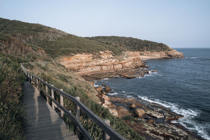
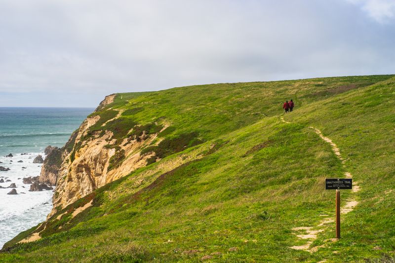
The flat rocky shelf exposed at low tide below a cliff is the record of where the cliff used to stand. Its width is a rough measure of how far the coast has retreated since sea level settled at roughly its present position. Rock pools, gullies and ridges on the platform follow the same joints and bedding that the cliff above is failing along.
The platform is slippery in a way that has nothing to do with rain, because algae grows in the zone that wets twice daily. It also floods on a rising tide from the seaward edge inwards, which is how people become cut off on an apparently gentle shore.
Collapse does not announce itself
Cliff retreat is not a smooth process; nothing happens for years and then a large volume of rock arrives at once. Fresh rockfall is easy to recognise as a fan of angular, unweathered debris with no algae or vegetation on it. Heavy rain, hard frost and big storm swells all raise the probability of failure, but none of them makes the timing predictable.
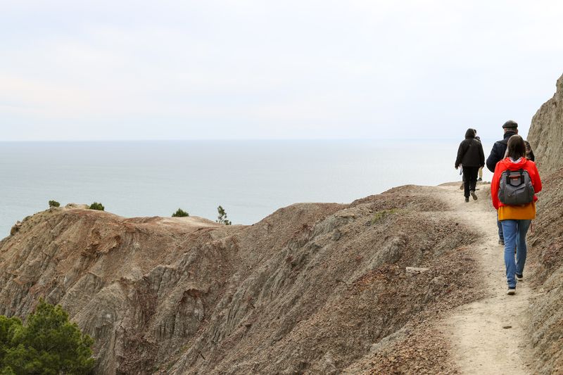
That is why fenced clifftop paths are set back from the edge and why sitting under an overhang is a poor idea.
Local authority and coastal management notices describe the specific instability on a given cliff, which is more useful than a general rule.
Sea caves and the tide
A sea cave is cut at the waterline, so its floor is usually within the tidal range and its entrance can flood entirely. Caves amplify swell: a small wave outside can arrive inside as a surge that fills the passage from wall to wall.
The noise inside is not a good guide to conditions, because a booming cave can sound the same in benign and dangerous swell. Boat trips into caves run only in specific conditions and turn back when the swell direction changes, even on a sunny day. Guided operators, harbour offices and coastguard information are the sources that know which caves close on which swell.
Timetables on small routes shift with the season and with the weather on the day.
Seeing the process rather than the postcard
Once the sequence is familiar, a headland reads as a series of stages happening simultaneously along its length. An offshore stack shows you where the cliff line was, and a line of stacks marks a former ridge running seaward. Gulls and other seabirds nest on stacks precisely because the isolation that erosion created keeps ground predators away.
Nesting seasons bring access restrictions on many such coasts, and those restrictions have legal force in a number of countries. Watching from the clifftop with binoculars gives a better view of the geology and disturbs nothing that lives on it.
The takeaway
A cliff coast is a process, not a picture, and the freshest-looking rock is the part that just moved.
Weather is the itinerary. Everything else is a preference.
Questions readers ask
How fast does a cliff actually retreat?
It varies enormously with rock type, from centimetres per century in hard granite to metres in a single storm on soft clay coasts. Averages are misleading because the change arrives in sudden events rather than steadily.
Why do stacks so often stand in a line?
They mark the trace of a more resistant band or a former headland that the sea has cut back into fragments. The alignment follows the geology, which is why the pattern repeats along a coast with consistent structure.