Coastlines
How to Read a Coastline Off a Map Before You Ever See It
Contours, symbols and the placement of roads describe a shoreline accurately enough to plan a trip around.
Comparisons of interpreting coastal maps usually pick a winner. This one picks the circumstances, which is more useful.
The difference in one place
- Contour spacing near the shore tells you cliff or beach.
- Foreshore symbols distinguish sand, shingle, rock and mud.
- Road distance from the sea predicts access and parking.
Contours are the first read
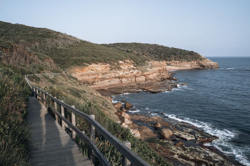
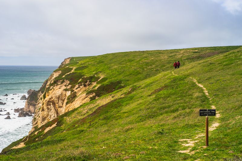
Contour lines crowded right up to the water mean cliffs, and access to the sea will be limited to a few notches. Widely spaced contours or none at all near the shore mean low ground, dunes, marsh or a broad beach.
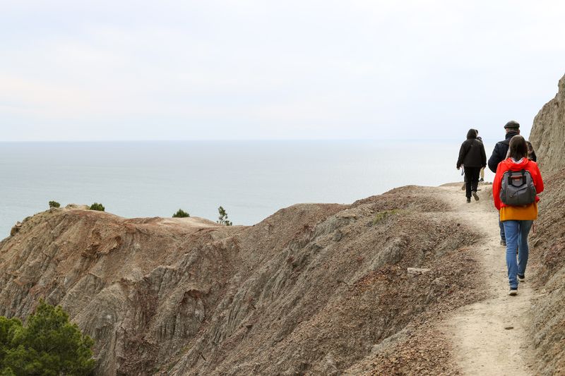
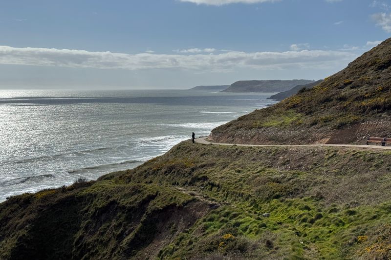
A repeating pattern of contours bending inland at regular intervals is the signature of a valley-cut cliff coast. That pattern is exactly the saw-toothed profile a coast path will follow, so it also predicts your walking effort. Reading contours takes a minute and replaces a great deal of guesswork about what a place actually looks like.
Foreshore symbols carry real information
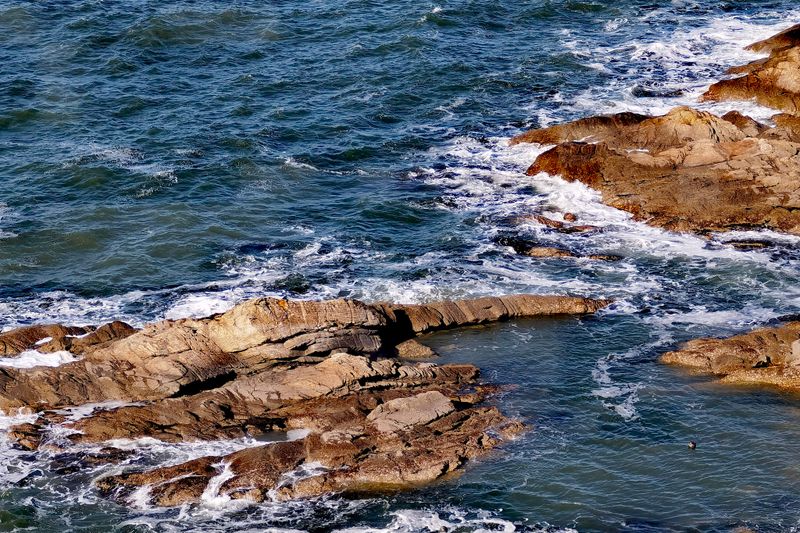
Most national mapping distinguishes sand, shingle, rock platform and mud on the intertidal zone with different fills. A wide band of intertidal marking means a large tidal range or a very shallow gradient, and often both.
Along that stretch of coast, mud symbols mean an estuary or sheltered inlet, and they also mean the water may be far away at low tide. Rock platform markings indicate rock pools, poor barefoot walking and generally interesting but slippery ground. Comparing that band with a tide table tells you roughly how much beach will exist when you arrive.
Where the roads are tells you the rest
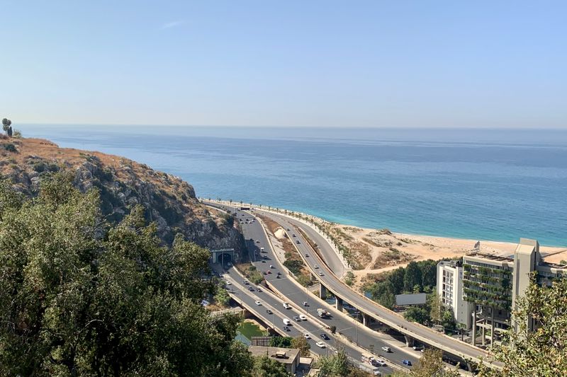
A road hugging the shore means easy access, car parks and more people, particularly at each parking symbol. A road running a kilometre inland with occasional dead-end lanes means walking, and it means quieter beaches. No road at all for a long stretch means the coast there is either protected, military, industrial or genuinely inaccessible.
Along that stretch of coast, rights of way shown running to the sea and stopping are often steps or a slipway rather than a beach. The density of parking symbols is the single best predictor of how busy a stretch of coast will be.
Water symbols and hazards
Nautical charts mark rocks that dry at low water, and their positions correspond to hazards that swimmers meet too. Arrows and figures showing tidal stream rates identify the places where currents are strong enough to matter. Charted depths falling away rapidly close inshore mean a steep beach and often a heavy shore break.
Wreck symbols close in are worth noting for snorkelling but also indicate historically dangerous water.
Free chart viewers exist in most countries, and half an hour with one is more useful than any guidebook paragraph.
Names as data
Coastal place names are unusually descriptive, because they were working names before they were addresses. Elements meaning haven, cove, mouth, ness, point, sands, mud and rock appear across many languages and mean what they say. Names referring to wind, roar, race or bore are describing conditions that somebody thought worth warning about.
A name including a saint or a chapel near a landing point often marks a historic crossing or a fishing station. Cross-checking a name against the contours usually confirms what the map already told you.
Putting it together
Choose the aspect for wind and light, the foreshore for what you want to do, and the roads for how busy it will be. Then check the tide range, because on a big-range coast the same spot is two different places at different hours. Note the nearest settlement with services, since coastal maps make water look accessible where it is not.
Mark one alternative in the shelter of a headland for the day the wind turns, which it will. That is an hour of preparation that decides whether the week works.
Side by side
| Consideration | What it means in practice |
|---|---|
| Contours are the first read | Contour spacing near the shore tells you cliff or beach. |
| Foreshore symbols carry real information | Foreshore symbols distinguish sand, shingle, rock and mud. |
| Where the roads are tells you the rest | Road distance from the sea predicts access and parking. |
The takeaway
Half an hour with a contour map and a chart will tell you most of what a coast is like.
The best hours on any shore are the ones before the car parks fill.
Questions readers ask
Which map should I use for a coast?
A national topographic series at a walking scale for the land, and a free nautical chart viewer for the water. They answer different questions and neither replaces the other.
Do maps show whether a beach is safe to swim from?
No. They show terrain and depth, not conditions, supervision or currents on the day. Local signage, lifeguards and flags are the source for that.