Seasons & Weather
A Coastal Forecast Is Three Different Forecasts Stacked Together
The land forecast, the inshore waters forecast and the tide are separate products with separate assumptions, and the coast is where all three apply at once.

This looks at reading coastal forecasts from the practical end — what holds up once conditions stop being ideal.
What holds up in practice
- Land forecasts are produced for populated areas rather than for the shoreline.
- Inshore waters forecasts cover wind, sea state, visibility and weather separately.
- Tidal information is published separately again and is not in any weather forecast.
Three products, three purposes
A general land forecast is built for people inland and describes conditions at a height and exposure that no coast has. An inshore waters forecast covers a defined band of sea and gives wind, sea state, weather and visibility explicitly. A shipping or offshore forecast covers larger sea areas and describes conditions well away from the shoreline.
The coast sits at the join, where the land forecast is too sheltered and the offshore forecast is too exposed. Reading the inshore product alongside the land one is the single largest improvement most coastal visitors can make.
Wind is the number that gets misread
Forecast wind speed is normally a mean over a period, while gusts are quoted separately and are substantially higher. Models smooth the terrain, so a headland, a gap between hills or a cliff top can double what the grid square suggests.
Exposure matters as much as speed: the same wind is unremarkable inland and unmanageable on an open beach. Direction determines whether a given stretch of coast is sheltered or fully exposed, and it can change through the day. A forecast that looks benign for a region can therefore be entirely wrong for one bay within it.
Sea state is not one number
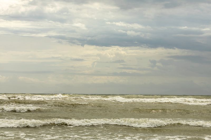
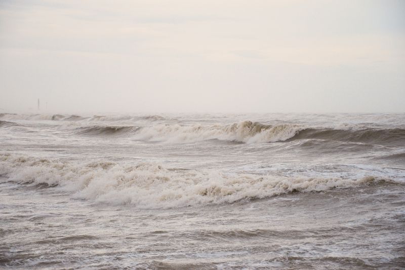
Inshore forecasts describe the sea in words, and those words correspond to defined ranges of wave height. The total sea is a combination of locally generated wind waves and swell arriving from elsewhere, which are forecast separately.
Out of season, two seas of the same height behave completely differently if one is short chop and the other long swell. Wave models publish period and direction alongside height, and those are the fields that describe how it will feel. Where wind opposes tidal stream, the actual sea will be worse than any of these numbers suggest.
The tide is not in the weather forecast
No weather product includes tidal height, and none includes tidal stream, which is a separate publication again. That omission catches people out, because the tide decides access, exposure and how far the sea reaches up the shore. Storm surge is forecast by dedicated services in many countries and is published as a flood warning rather than a weather one.
When the wind turns, so a full coastal picture requires three or four sources, none of which is complete on its own.
None of the values in any of them are universal, and a product for one country does not apply in another.
Timing and how far ahead to trust it
Wind direction and general pattern are usually reliable further ahead than exact timing or rainfall detail. Swell is the most predictable element several days out, because it is generated by systems already in existence. Convective showers are the least predictable, and their timing within a day can be effectively unforecastable.
Out of season, model updates several times a day are why a marine forecast should be reread on the morning rather than trusted from Tuesday. Radar, satellite imagery and coastal webcams are the nowcasting layer that fills the last few hours.
Building a habit that works
Look at the inshore waters forecast, then the wave model, then the tide table, in that order and every time. Note wind direction relative to the specific coast you are visiting rather than to the region as a whole.
Check whether any warnings are in force, since warning criteria differ by country and are set for local impact. Ask locally, because harbour offices and lifeguard services translate the forecast into what it means at that spot. That routine takes a few minutes and is the difference between a plan and an optimistic guess.
The takeaway
Read the inshore forecast, the wave model and the tide table together, because no one of them describes a coast.
The best hours on any shore are the ones before the car parks fill.
Questions readers ask
Why is the coast windier than the forecast says?
Land forecasts are produced for typical inland exposure, and models smooth out coastal terrain. An open shoreline, a headland or a cliff top routinely experiences considerably more wind than the grid square value.
Which forecast should I use for a beach day?
The inshore waters forecast for the relevant stretch, together with a wave model and a local tide table. The general land forecast tells you about temperature and rain, and very little about what the sea will be doing.