Seasons & Weather
A Nor'easter Does Its Damage by Lasting
Northeast coastal storms cause severe erosion and flooding with modest peak winds, because they are large, slow and span several consecutive high tides.

Winter storms on the Northeast coast rarely reach the wind speeds of a tropical system, and they routinely do more damage to the shoreline. Duration is the reason.
The storm is large and slow rather than intense
These systems develop along the temperature contrast between cold continental air and warmer offshore water, and they draw energy from that contrast across a broad area.
The resulting circulation is wide, often several hundred miles across, with strong winds spread over that whole area rather than concentrated in a small core.
They also move slowly and sometimes stall, so the coast experiences the same conditions for a day or more instead of a few hours.
Multiple tide cycles are the key mechanism
Coastal flooding depends on surge coinciding with high tide. A brief storm may cross one high tide, and it may cross it at an unfavorable point in the cycle.
A storm lasting two days spans several consecutive high tides, and each one arrives on a beach already stripped and saturated by the previous one.
Damage accumulates across those cycles, which is why the third high tide of a long storm is frequently the destructive one.
Long fetch builds a persistent sea
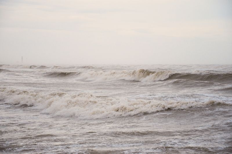
Sustained onshore winds over a long stretch of open ocean generate a large, well-developed sea that keeps arriving long after the wind eases.
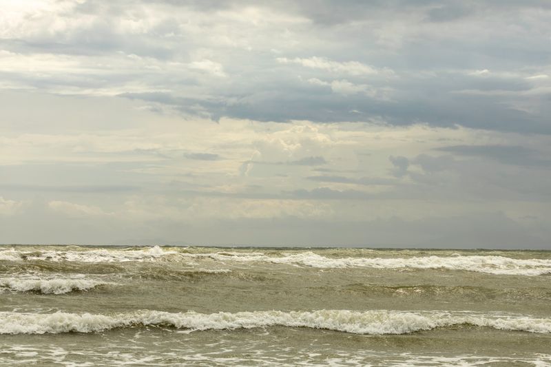
Continuous wave attack removes far more sand than a short violent burst, since each set works on a profile that has had no time to recover.
Dune scarps cut by these storms are often the most visible evidence, appearing as a vertical face where a sloping dune front stood.
The name covers a range of storms
The defining feature is a strong northeasterly wind onshore, which follows from a low pressure center tracking offshore to the south and east.
Precipitation type depends on the storm's exact track and the temperature profile, so the same system can deliver snow inland and rain at the shore.
That track sensitivity is why forecasts for these events shift substantially in the days before arrival while the coastal flooding signal stays consistent.
What it changes for a coastal trip
Beach access ramps, coastal roads and low causeways close during these events, and they reopen only after debris and sand are cleared from them.
Ferry and small boat operations stop well before the peak, because the sea state offshore builds ahead of the strongest winds at the shore.
Local emergency management and the National Weather Service issue the coastal flood products that govern access, and those notices are the operative source.
Questions readers ask
Why is the coast windier than the forecast says?
Land forecasts are produced for typical inland exposure, and models smooth out coastal terrain. An open shoreline, a headland or a cliff top routinely experiences considerably more wind than the grid square value.
Which forecast should I use for a beach day?
The inshore waters forecast for the relevant stretch, together with a wave model and a local tide table. The general land forecast tells you about temperature and rain, and very little about what the sea will be doing.