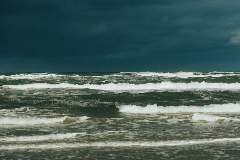
Seasons & Weather
Reading the Sky Over the Sea Between Forecasts
An unobstructed horizon lets you watch weather arrive hours ahead, and a few cloud types and wind signs give warning between scheduled forecast releases.

A forecast is issued at intervals, but the sky over the sea updates continuously. On a coast the horizon is unobstructed, which makes direct observation unusually useful.
High cloud thickening is the first sign
An approaching frontal system announces itself with thin, fibrous high cloud, which gradually spreads and lowers over a period of hours before anything else changes.
A halo around the sun or moon comes from ice crystals in that layer, and it often precedes the arrival of the weather by a considerable margin.
The sequence matters more than any single cloud. Steadily lowering and thickening cover means something organised is arriving; scattered cloud that comes and goes does not.
Cloud shape describes the air it formed in
Flat, layered cloud indicates stable air, which produces steady conditions, persistent drizzle and poor visibility rather than sharp changes through the day.
Cloud that builds vertically with hard, cauliflower tops indicates unstable air, which produces showers, gusts and bright clear gaps between them.
Knowing which of the two is present tells you whether the day will change slowly or in sudden bursts, which is usually the decision you actually need to make.
The wind indicates where the low sits
Wind circulates around low pressure in a consistent direction within each hemisphere, so standing with your back to the wind places the centre in a predictable quarter.
Watching how that direction shifts over several hours then indicates whether the centre is approaching, passing to one side or moving away.
Combined with the cloud, this gives a rough position and track without any instrument, and it is the basis of the older rules of thumb that sailors used.
The sea surface reports before you feel it
Wind arriving from a new direction shows on the water as a darker patch of ripples advancing across the surface, visible well before it reaches where you are standing.
Long, smooth swell running in from a direction with no local wind indicates a distant system, and its arrival can precede any change in your own weather by a day.
Both are easier to see from height, which is one reason coastal lookouts are placed above the shore rather than on it.
Observation supplements the forecast
Models handle the large-scale pattern far better than any observer can, and they see systems that are still well beyond the visible horizon.
What direct observation adds is timing and local detail, particularly whether a change is arriving earlier or later than the forecast suggested it would.
Used together, the forecast sets the expectation for the day and the sky tells you when to act on it, which is the combination local operators rely on.
Questions readers ask
Why is the coast windier than the forecast says?
Land forecasts are produced for typical inland exposure, and models smooth out coastal terrain. An open shoreline, a headland or a cliff top routinely experiences considerably more wind than the grid square value.
Which forecast should I use for a beach day?
The inshore waters forecast for the relevant stretch, together with a wave model and a local tide table. The general land forecast tells you about temperature and rain, and very little about what the sea will be doing.