Seasons & Weather
Red Tide Closes Gulf Beaches Under a Clear Sky
Harmful algal blooms on the Gulf coast produce airborne toxins that irritate the airway from the beach, so a bloom empties a shore on an otherwise perfect day.

A stretch of Gulf coast can be unusable in flawless weather because of a bloom in the water. The problem reaches the beach through the air as well as the surf.
A bloom is a population explosion
Certain single-celled marine algae are present at low background levels most of the time and cause no difficulty at those concentrations.
Under the right combination of water temperature, nutrients and circulation, one species can multiply until it dominates the water column over a large area.
Some blooms discolor the water and some do not, so appearance is an unreliable indicator of whether toxins are present.
Wave action puts the toxin into the air
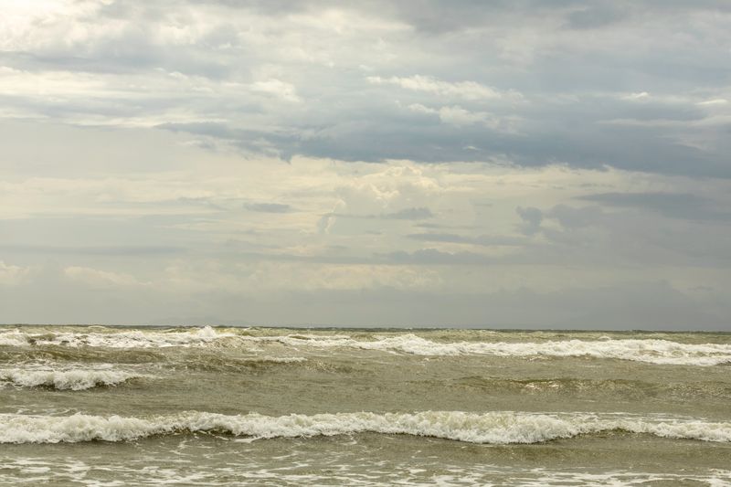
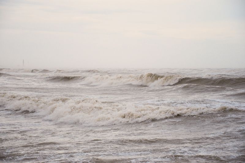
The organism responsible for Gulf red tide produces toxins held inside fragile cells. Breaking surf ruptures those cells and releases the compounds into sea spray.
Onshore wind then carries the aerosol over the beach, where it commonly causes coughing, throat irritation and watering eyes in people standing on dry sand.
Symptoms generally ease on leaving the area, but people with asthma or other respiratory conditions can be affected more seriously and should follow medical guidance.
Timing depends on wind more than on the bloom
Because the aerosol effect is wind-driven, the same bloom can make one beach unpleasant and leave another a few miles away unaffected on the same day.
An offshore wind pushes the spray away from the shore, so conditions on a single beach can change through the day as the sea breeze sets up.
This is why beach-by-beach reporting is more useful than a regional bloom map for deciding where to go.
The seafood rules are separate
Filter-feeding shellfish concentrate these toxins, so state agencies close shellfish harvesting areas during blooms and test before reopening them.
Commercially sold shellfish come from monitored and open areas, which is the reason recreational harvesting is restricted while restaurants continue to serve.
Fish kills are common during severe blooms, and agencies advise against collecting dead or distressed fish found on the shore.
Where the current information comes from
State environmental agencies and research institutions sample the water and publish bloom status and beach conditions during an event.
Many Gulf counties operate daily beach condition reports covering respiratory irritation and dead fish alongside water quality, updated by staff who visit the beach.
Checking that report on the morning of a visit is more reliable than any forecast, since blooms move with the current and the wind.
Questions readers ask
Why is the coast windier than the forecast says?
Land forecasts are produced for typical inland exposure, and models smooth out coastal terrain. An open shoreline, a headland or a cliff top routinely experiences considerably more wind than the grid square value.
Which forecast should I use for a beach day?
The inshore waters forecast for the relevant stretch, together with a wave model and a local tide table. The general land forecast tells you about temperature and rain, and very little about what the sea will be doing.