Coastlines
Fjord and Sea Loch Coasts Put Deep Water Beside the Footpath
A drowned glacial valley has hundreds of metres of water within a stone's throw of the road, and almost no beach anywhere along it.

The options around fjord and sea loch coastlines are set out side by side below, with the conditions that genuinely favour one over the other.
The difference in one place
- A fjord is a glacier-cut valley that filled with sea when the ice retreated.
- Many fjords are shallowest at the mouth, where a rock sill blocks free exchange.
- Downslope wind and fast tidal narrows are the local hazards, not open ocean swell.
Why the water is so deep so close in
A fjord is a valley that a glacier gouged out well below the level of the sea, and the sea moved in when the ice left. That history is why the water beside the road can be hundreds of metres deep within a stone's throw of dry land. Many fjords are shallowest at their mouth, where the glacier dumped a sill of rock and gravel before it reached open water.
The sill matters more than the depth inside it, because it limits how freely deep water exchanges with the ocean beyond. Sea lochs on other coasts were cut the same way and behave the same way, whatever the local word for them happens to be.
A shoreline with almost no beach
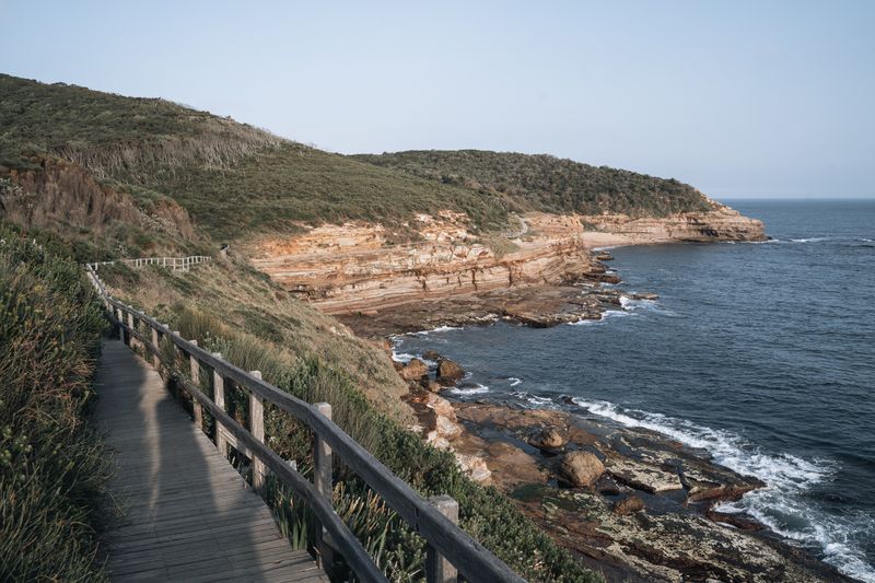
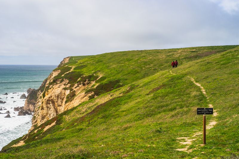
Glacial valleys have steep sides, so the shoreline is usually rock, boulder or a narrow strip of gravel rather than sand. Where a beach does exist it tends to sit at a river mouth, built from material the river carried down from the hills.
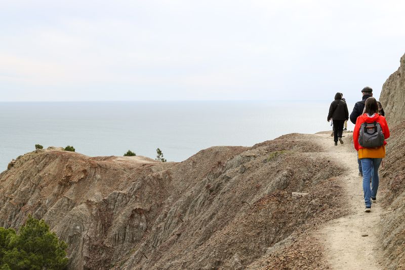
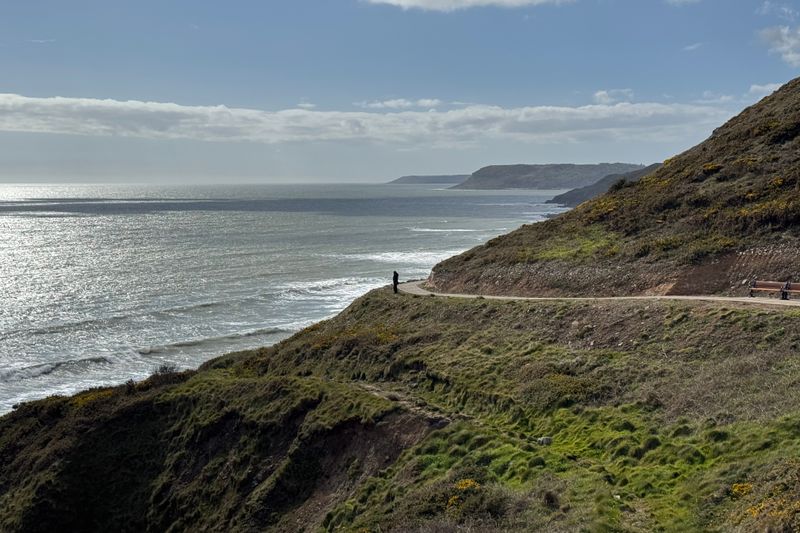
That scarcity concentrates houses, boats and parking into a handful of flat places along a coast that may run for many miles. It also means the walking is up and down rather than along, because the path has to climb wherever the rock meets the water. Distances measured straight across a fjord are meaningless on foot, since the road has to go all the way round its head.
Wind that falls down the walls
Cold air pools on the high ground above a fjord and then drains down the slope as a dense and very gusty flow. These downslope winds can arrive on water that was mirror flat a few minutes earlier, and they arrive in sudden violent bursts. A forecast written for the open coast does not describe them, because they are produced by the terrain rather than by the pressure pattern.
Local boat operators, harbour offices and mountain forecasts are the sources that know which arms of a fjord funnel wind hardest. Sheltered water is not the same thing as calm water, and inside a fjord that difference can appear within a single afternoon.
Fresh water sitting on top of salt
Rivers and snowmelt pour into the head of a fjord and float as a fresher layer on top of denser seawater below. That surface layer can be several degrees different from the water underneath it, and it can be far colder in a melt season. Anyone entering the water therefore meets a temperature that changes with depth rather than the single number printed on a forecast page.
When the wind turns, cold water shock and the loss of swimming ability that follows it are the mechanisms that make this layering worth understanding first.
Local lifeguard, harbour or coastguard information and proper open water instruction are the places to take questions about entering cold water.
Narrows, sills and tidal rapids
Where a fjord narrows, the same volume of tidal water has to pass through a smaller gap, so the stream speeds up sharply. Some narrows run fast enough to raise standing waves and overfalls that reverse direction entirely as the tide turns. These features sit in fixed positions and run to predictable timing, which is why local boats plan their passage around slack water.
Along that stretch of coast, from the shore the moving water looks more like a river than a sea, and that impression is accurate rather than misleading. Signs, harbour notices and pilotage information describe these places specifically, and they are worth reading before going anywhere near the edge.
Getting around a coast made of dead ends
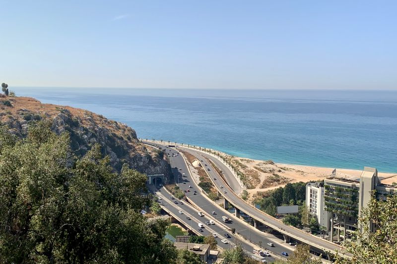
Ferries across a fjord often replace an hour of driving, and in many regions they are treated as part of the road network. Their timetables thin out sharply after the evening peak, so the last crossing decides how far you can reasonably travel in a day. Tunnels and bridges have replaced some crossings entirely, which redirects traffic and empties the villages that once served the waiting queue.
On the water, weather closes the high roads over the shoulders between fjords earlier in the year than it closes the coastal route itself. Planning around water and timetables rather than around distance is the single adjustment that makes a fjord itinerary work at all.
Side by side
| Consideration | What it means in practice |
|---|---|
| Why the water is so deep so close in | A fjord is a glacier-cut valley that filled with sea when the ice retreated. |
| A shoreline with almost no beach | Many fjords are shallowest at the mouth, where a rock sill blocks free exchange. |
| Wind that falls down the walls | Downslope wind and fast tidal narrows are the local hazards, not open ocean swell. |
The takeaway
On a fjord coast the map lies about distance and the forecast lies about wind, so plan around crossings and local knowledge.
Arrive a day early. A coastline rarely rewards a tight schedule.
Questions readers ask
Why does a fjord feel calmer than the open coast?
Ocean swell cannot get far past the sill and the bends, so the water is usually flat. That shelter is real, but it is shelter from swell rather than from wind, and downslope gusts can raise a steep local chop very quickly.
Why is there so little sand on a fjord shore?
The valley walls are hard rock and the tide has little flat ground to work on, so material collects only where a river delivers it. That is why beaches on a fjord cluster at river mouths and at the head of the inlet.