Seasons & Weather
Gale, Gust and Force: The Words in a Marine Forecast Have Definitions
A marine forecast is a technical document in disguise, and most of its vocabulary refers to defined ranges rather than to impressions.
There is a short answer about the vocabulary of marine forecasts and a useful one, and they are not the same. What follows is the useful one.
The short version
- Beaufort force numbers correspond to defined wind speed ranges.
- Forecast wind is a mean, and gusts are quoted separately and are higher.
- Warning thresholds and colour codes are national, not international.
A scale of effects, not just numbers
The Beaufort scale was devised to describe the wind by its observable effects on the sea and on sails. Each force number now corresponds to a defined range of wind speed, which is why forecasts can use it precisely.
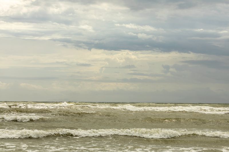
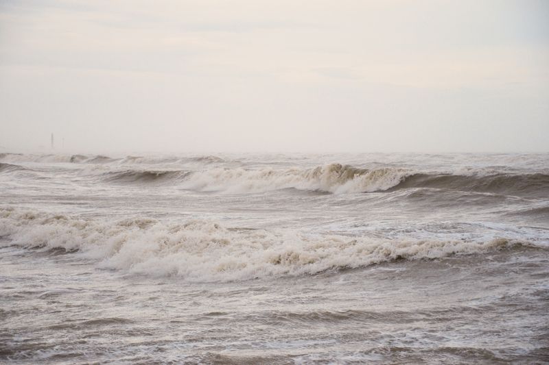
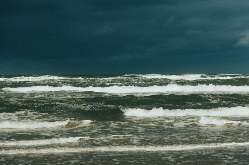
The descriptions that accompany each force, covering wave height and sea surface appearance, are part of the definition. That makes the scale unusually useful ashore, because you can estimate the force from what the water is doing. It is also why an experienced observer can disagree with a forecast on the basis of looking out of a window.
What gale actually means
Gale is not a general word for strong wind in a marine forecast; it refers to a specific force in the scale. Severe gale and storm are the next steps up, each with its own defined range and its own sea state description. Marine forecasters issue gale warnings when those thresholds are expected, and the warning has an operational meaning.
Ferry operators, harbour authorities and fishing crews make decisions directly against those defined levels. So a gale warning is a specific piece of information about wind speed rather than an expression of concern.
Mean wind and gusts are different numbers
Forecast wind speeds are averages over a defined period, and the wind is rarely at that speed for long. Gusts exceed the mean substantially, and the ratio between them is larger over rough ground and in unstable air.
Damage, difficulty walking and problems handling a boat are usually caused by the gusts rather than the mean. Where a forecast quotes both, the gust figure is the one that describes the worst moment you will experience. Over the sea the ratio is lower than over land, which is one reason coastal wind feels different from inland wind.
Visibility and sea state have definitions too
Terms such as good, moderate, poor and fog correspond to defined distance ranges in marine forecasts. Sea state words, from smooth through moderate to rough and beyond, correspond to defined wave height bands. The forecast will normally distinguish between wind sea and swell, since the two can differ in height and direction.
Reading those terms as technical rather than descriptive removes most of the ambiguity from a marine forecast.
The definitions are published by the issuing service and are worth reading once, since they never change.
Warnings are national and not comparable
Warning systems, colour codes and impact criteria are set by national meteorological services and differ substantially. A threshold that triggers a warning in one country may be an ordinary winter day in another. Some countries name storms, others do not, and naming conventions are agreed regionally rather than globally.
Before the first ferry, this is why a traveller should read the warnings of the country they are in rather than the one they came from. The same applies to flood warnings, which are issued by different agencies again with their own local thresholds.
Timetables on small routes shift with the season and with the weather on the day.
Using the vocabulary
Learning half a dozen definitions makes a marine forecast far more informative than a general weather app. Comparing the forecast with what the sea looks like builds a personal calibration that transfers between coasts. Where a forecast and local observation disagree, the local observation is describing exposure the model has smoothed away.
Harbour offices, lifeguard services and boat operators translate all of this into what it means for that day and that place. That translation is the part no published product can supply, which is why the local question is always worth asking.
The takeaway
Learn what the forecast words mean once, and every marine forecast afterwards becomes a set of numbers rather than adjectives.
The best hours on any shore are the ones before the car parks fill.
Questions readers ask
Is a gale warning a serious warning?
It is a technical statement that wind of a defined force is expected, and it has direct operational consequences for shipping, ferries and fishing. Whether it matters to you ashore depends entirely on your exposure and your plans.
Why are gusts so much stronger than the forecast wind?
Forecast speed is an average, while gusts are short peaks caused by turbulence. Rough terrain, cliffs and unstable air all increase the gap between the two, which is why coastal cliff tops feel so much windier than the number suggests.