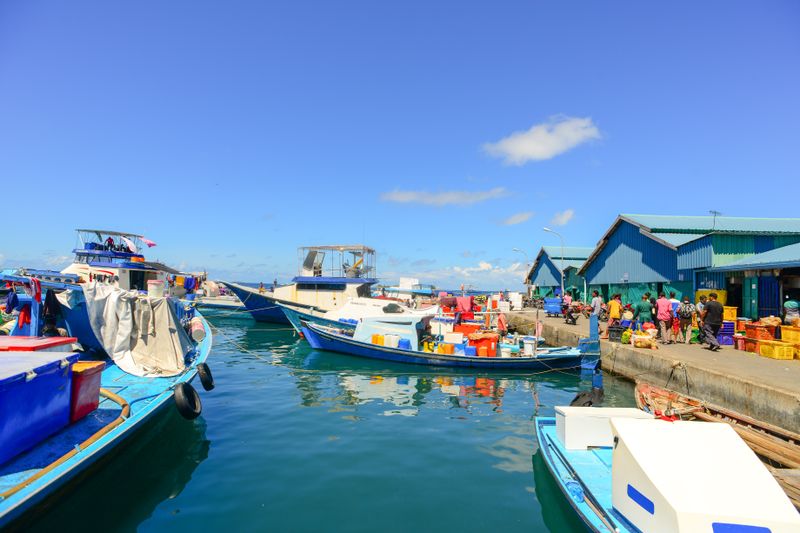
Harbour Towns
Why Old Harbour Towns Turn Their Backs to the Water
Narrow lanes, blank seaward walls and cellars under the quay are all responses to wind, salt and the practicalities of trade.

The points below about the layout of old port towns are ordered by how much difference they make, not by how often they get repeated.
What matters most
- Sea-facing walls were built solid because of wind and spray.
- Narrow lanes shelter streets from onshore wind.
- Panoramic sea views are largely a modern preference.
Building against the weather
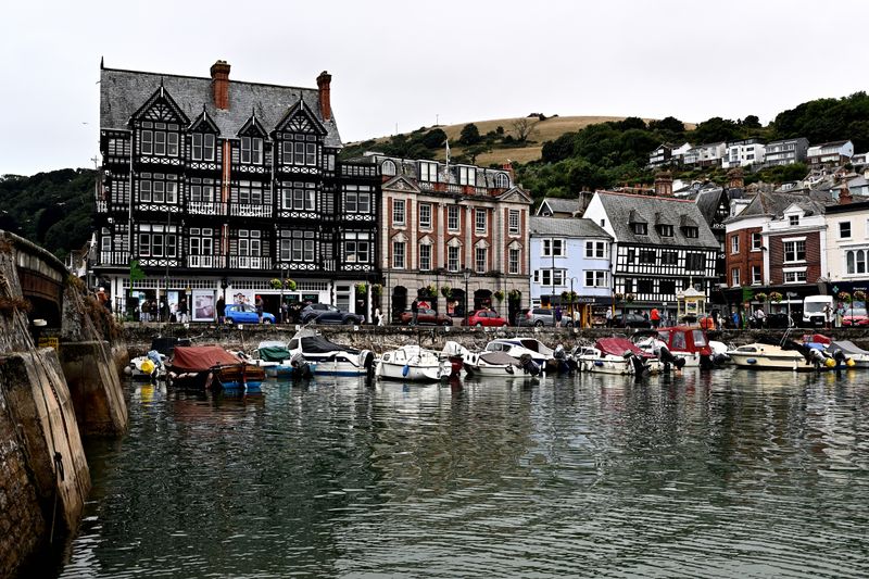
A wall facing the prevailing wind takes driven rain, salt spray and occasional debris, so it was built with few openings. Slate hanging, tile cladding and rendered finishes on one elevation only are a direct response to that exposure. Chimneys, roof pitches and window sizes on the seaward side are frequently different from the sheltered side.
The large picture window looking straight at the sea is a modern addition made possible by better glazing. Older buildings prioritised staying warm and dry over the view, because heating was expensive and glass was poor.
Streets that block the wind
Narrow lanes running at an angle to the shore prevent the wind driving straight through the settlement. Buildings packed tightly together shelter each other and reduce the exposed surface of each one.
Steps and passages exist because the town was built for feet and handcarts rather than for vehicles. This layout is why harbour towns are difficult to drive in and pleasant to walk in. It is also why parking is at the edges, which was true long before the car arrived.
Working buildings on the water
The buildings closest to the quay were usually stores, lofts and workshops rather than houses. Loading doors at first floor level with a beam above them show where goods were hoisted directly from the quay. Cellars and vaults under the quay stored salt, fish and gear at a stable temperature.
Net lofts needed length and ventilation, which is why they are long, narrow and full of openings on the sheltered side. Conversions of these buildings into homes are recent, and the original function is usually still legible.
Water, drainage and fire
Wells, pumps and public taps appear at specific points because fresh water was scarce in a dense settlement. Drainage ran downhill to the harbour, which is why older ports had persistent water quality problems.
Fire was the major risk in a tightly packed town with timber and pitch, and gaps in a terrace often mark old fires. Firehooks, water butts and later hydrants appear in the same streets for the same reason. These details explain the shape of the town far better than any account of its architecture.
Where the good views actually are
The best views in a harbour town are usually from the paths and roads above it rather than from the waterfront. Churches, coastguard lookouts and old signal stations were sited for sightlines and remain the best vantage points. Walking uphill for fifteen minutes on arrival gives you the entire layout in one look.
When the wind turns, that view also shows the harbour arms, the entrance angle and the beach that the streets conceal. It is the single most efficient thing to do in the first hour of visiting a port.
Harbour towns work for a living, and access is not owed to visitors.
Living with the conversion
Many of these towns now have more holiday accommodation than permanent residents in the core streets. That changes the winter population dramatically and affects whether shops and schools remain viable.
Before the first ferry, it also means the buildings are maintained, which is not guaranteed in a declining port. The debate about the balance is live in a lot of coastal regions and the specifics vary widely. Staying outside the peak weeks and using local businesses is the practical response available to a visitor.
Everything above, in order of what to do first
- Building against the weather. A wall facing the prevailing wind takes driven rain, salt spray and occasional debris, so it was built with few openings.
- Streets that block the wind. Narrow lanes running at an angle to the shore prevent the wind driving straight through the settlement.
- Working buildings on the water. The buildings closest to the quay were usually stores, lofts and workshops rather than houses.
- Water, drainage and fire. Wells, pumps and public taps appear at specific points because fresh water was scarce in a dense settlement.
- Where the good views actually are. The best views in a harbour town are usually from the paths and roads above it rather than from the waterfront.
- Living with the conversion. Many of these towns now have more holiday accommodation than permanent residents in the core streets.
The takeaway
Walk uphill in the first hour; the town explains itself from above.
The best hours on any shore are the ones before the car parks fill.
Questions readers ask
Why are old sea-facing windows so small?
Because glass was expensive and poor at retaining heat, and driven salt spray damaged frames and glazing. Small openings on the exposed elevation were the sensible engineering answer.
Where is the best view of a harbour town?
Almost always from above, on the coast path or the road out of town. The waterfront shows you the boats; the hill shows you the whole arrangement.